Mound City Magic
August 28, 2024
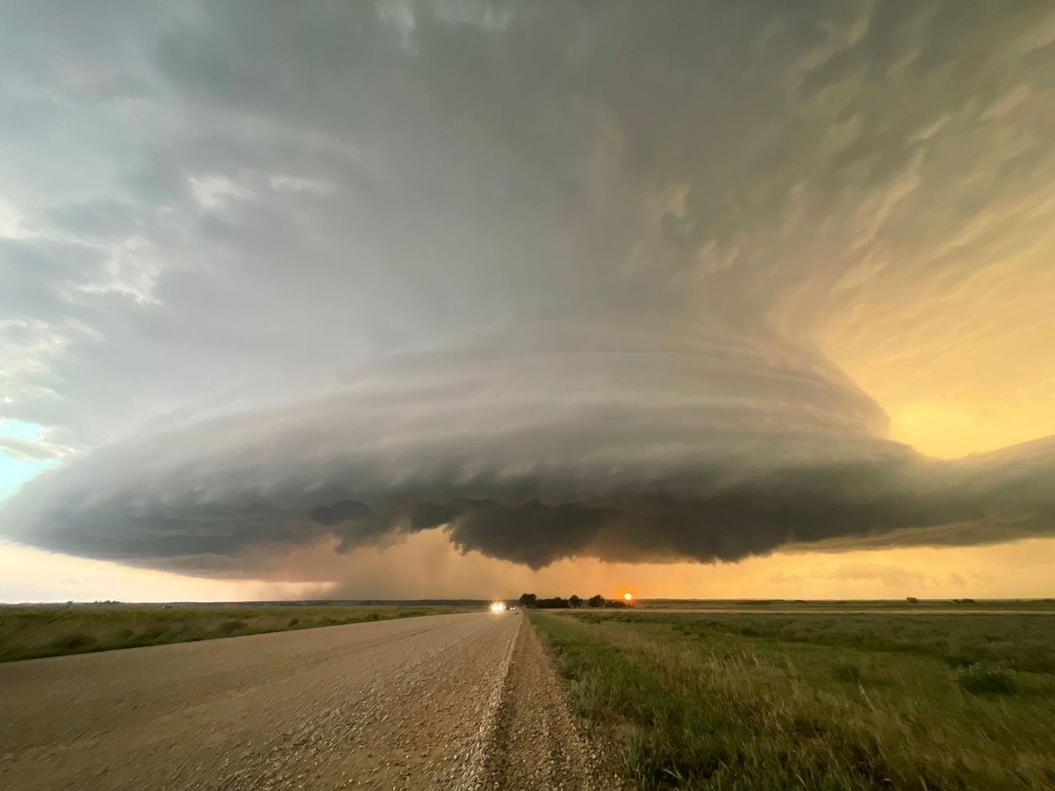
This day had all the ingredients for tornado development—if not multiple tornadoes—across the region. The target area was under an Enhanced Risk, with a 5% tornado probability outlined by the SPC. Forecast models were consistent in showing storm initiation west of the Missouri River, with storms expected to move eastward through the afternoon and evening.
I started the day on the Selfridge tornado, which I was able to see from approximately 26 miles away. Unfortunately, there are no river crossings between Bismarck, ND and Mobridge, SD, so getting closer wasn’t an option without a major detour. Despite the distance, the tornado was still visible on the horizon, framed by the beautiful topography surrounding the Missouri River.
Eventually, the area of rotation became rain-wrapped and visually obscured, though the storm continued to put on a show with incredible lightning over Lake Oahe. Based on radar velocity, I had a strong suspicion that the storm continued producing a tornado even when it couldn’t be seen due to the heavy rain.
After crossing the Missouri River, the storm intensified. About 20 minutes after making the crossing, it produced another tornado—and shortly after, twin tornadoes formed briefly. The system remained strong into the evening and went on to produce at least two more tornadoes after dark. It was one of those days that left me speechless and honestly feeling like I hadn't even experienced it. A "pinch me" moment if you will.

