An initial supercell merged into a line with various other cells and eventually went tornado warned. NWS has not confirmed a tornado in this location, however, photos show an evident cone tornado through a heavy band of rain.
Extended outlooks - June 22, June 25, and June 26, 2026
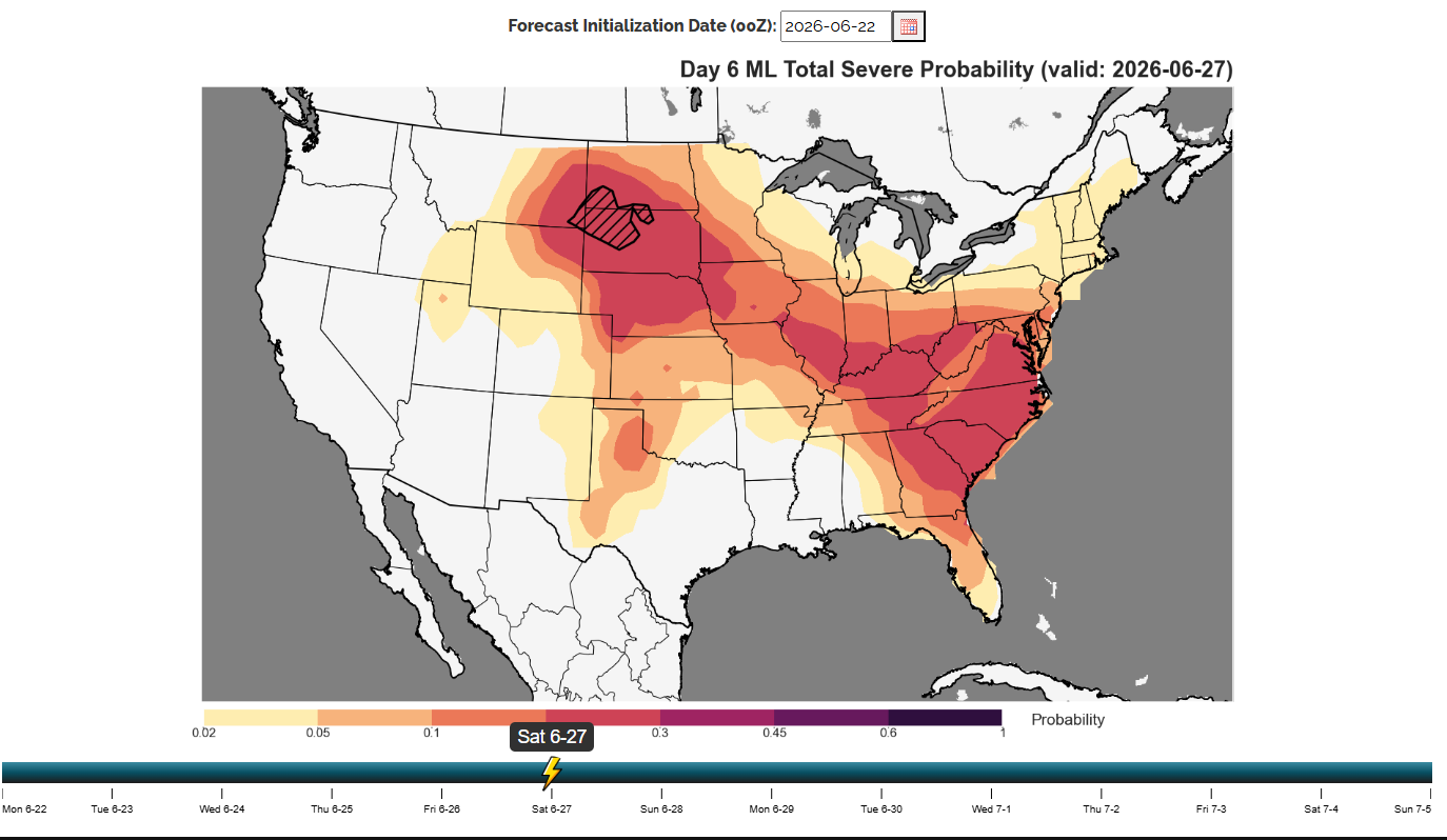
Day 6 Long Range NSSL Outlook
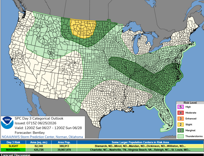
Day 3 SPC Outlook - Level 2/5
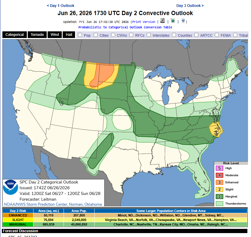
Day 2 SPC Outlook - Level 3/5
Based on the data pulled from the 18z HRRR on June 26, my initial target would be Dickinson, ND. This location provides a good north or south option based on initiation.
June 27, 2026
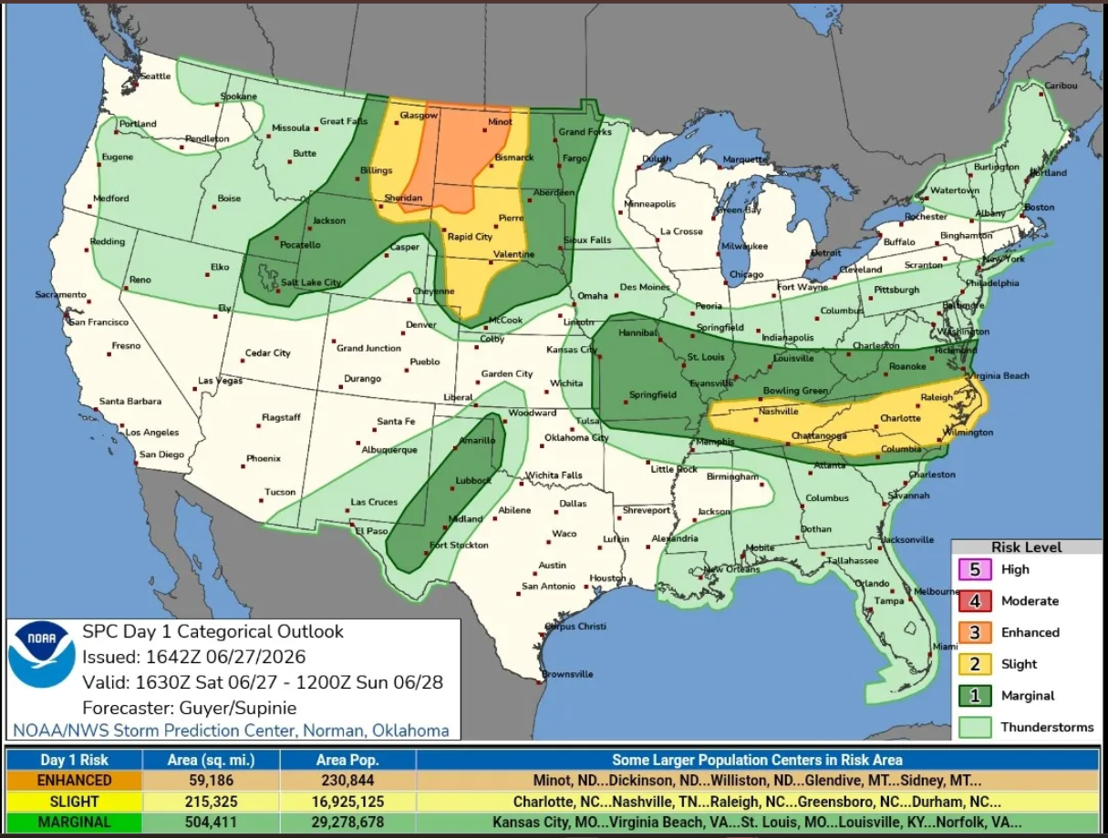
Day 1 SPC Outlook - Level 3/5 Enhanced Risk
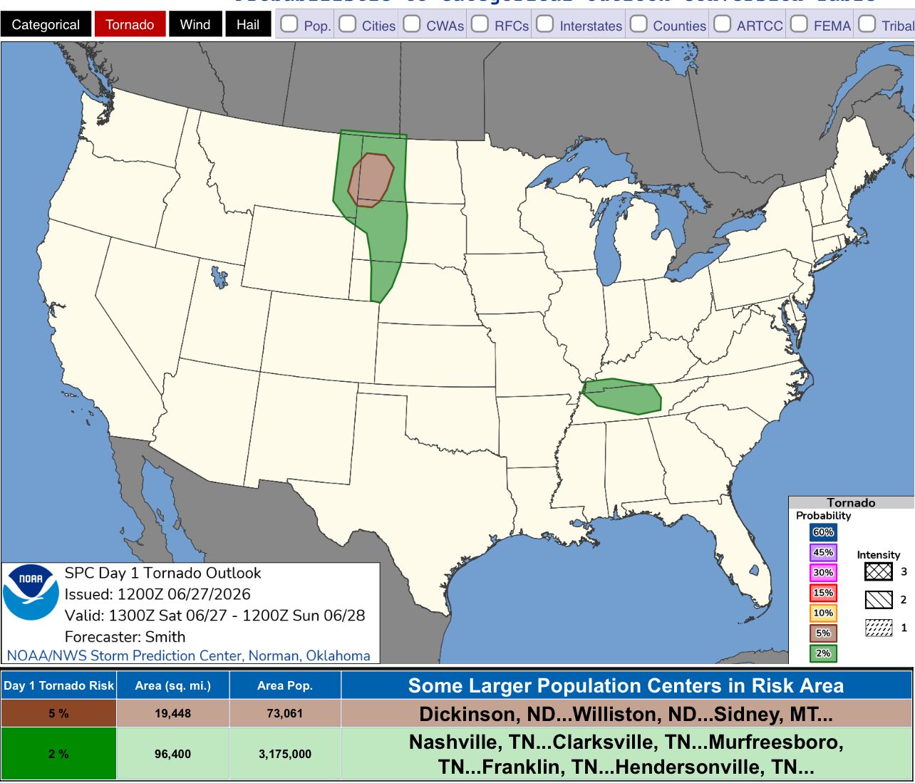
5% Tornado Risk in the Morning
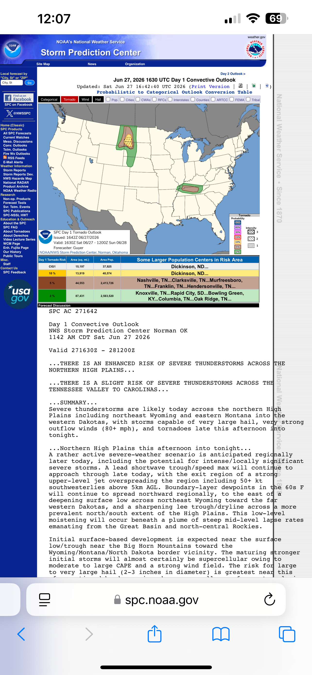
17z Update added a 10% Hatched Tornado Risk
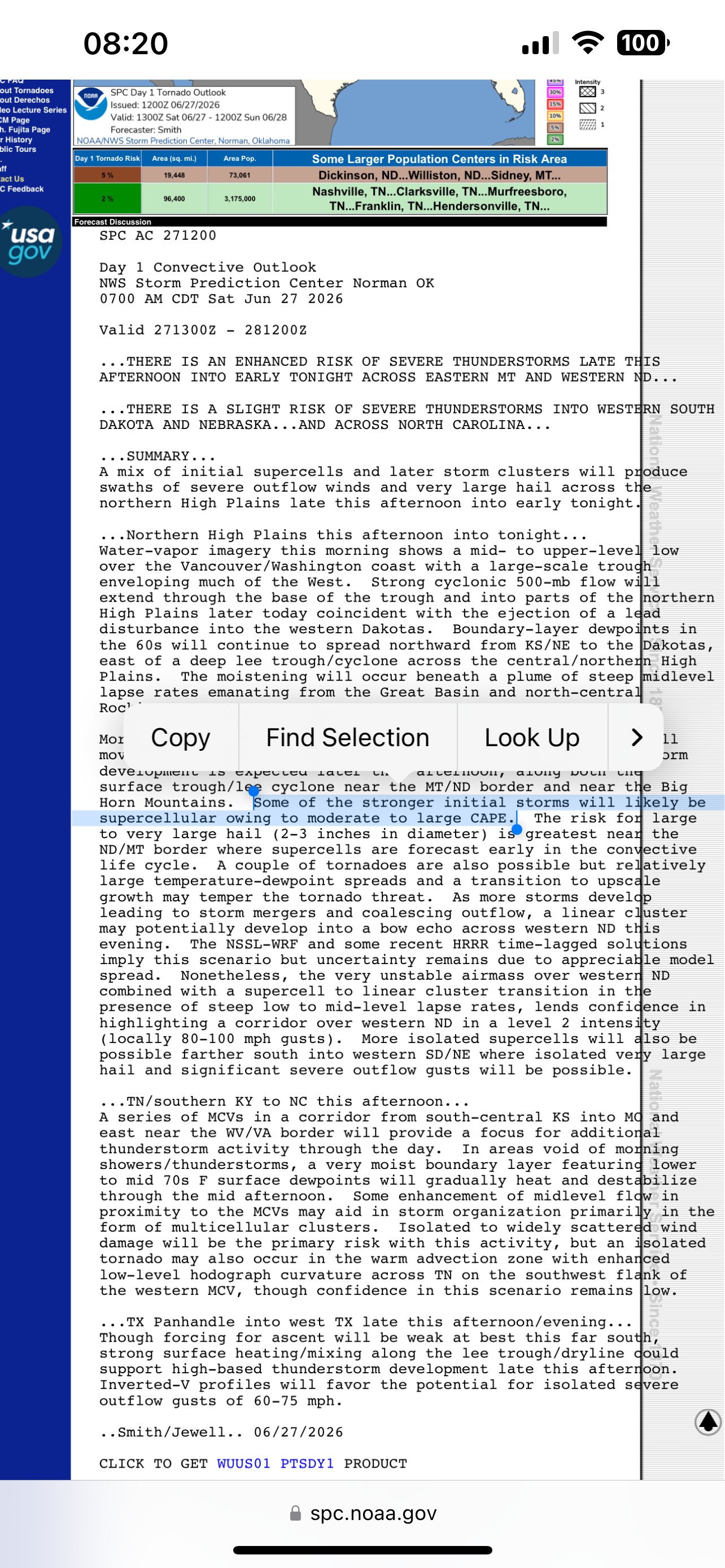
SPC's Discussion on Storm Mode
As the day progressed, it was evident that SW North Dakota or NW South Dakota would be the best target. At 17z, the SPC added a 10% hatched risk for tornadoes in that area, which confirmed the decision to head southwest.
I stopped in Dickinson, ND to get gas before heading south toward Bowman, ND. On the way, I met up with a couple of my friends, Darren and Nate, around New England, ND.
We caravaned to Bowman together and on the way, at 3pm MDT, a tornado watch was issued for the western part of North Dakota and South Dakota.
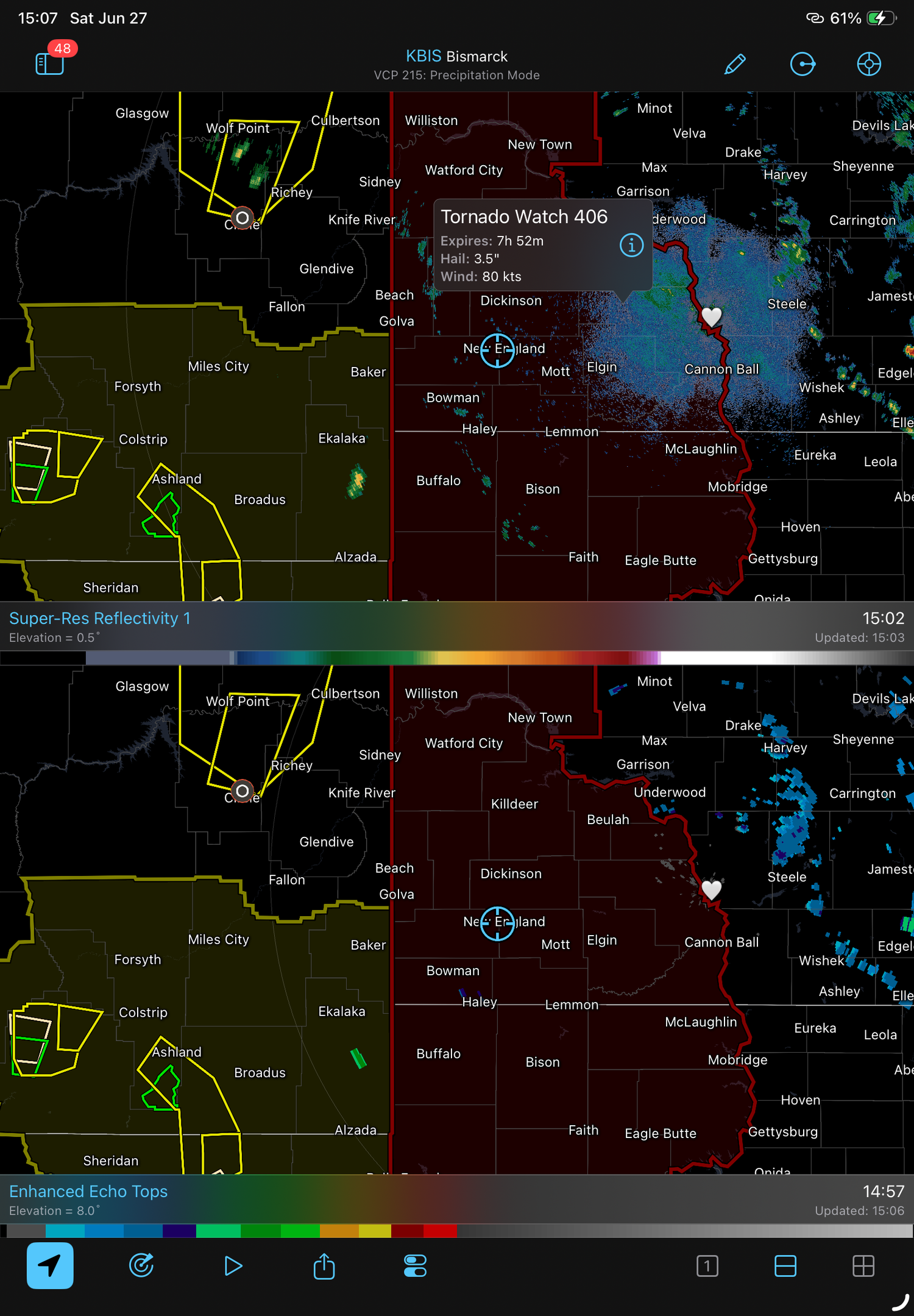
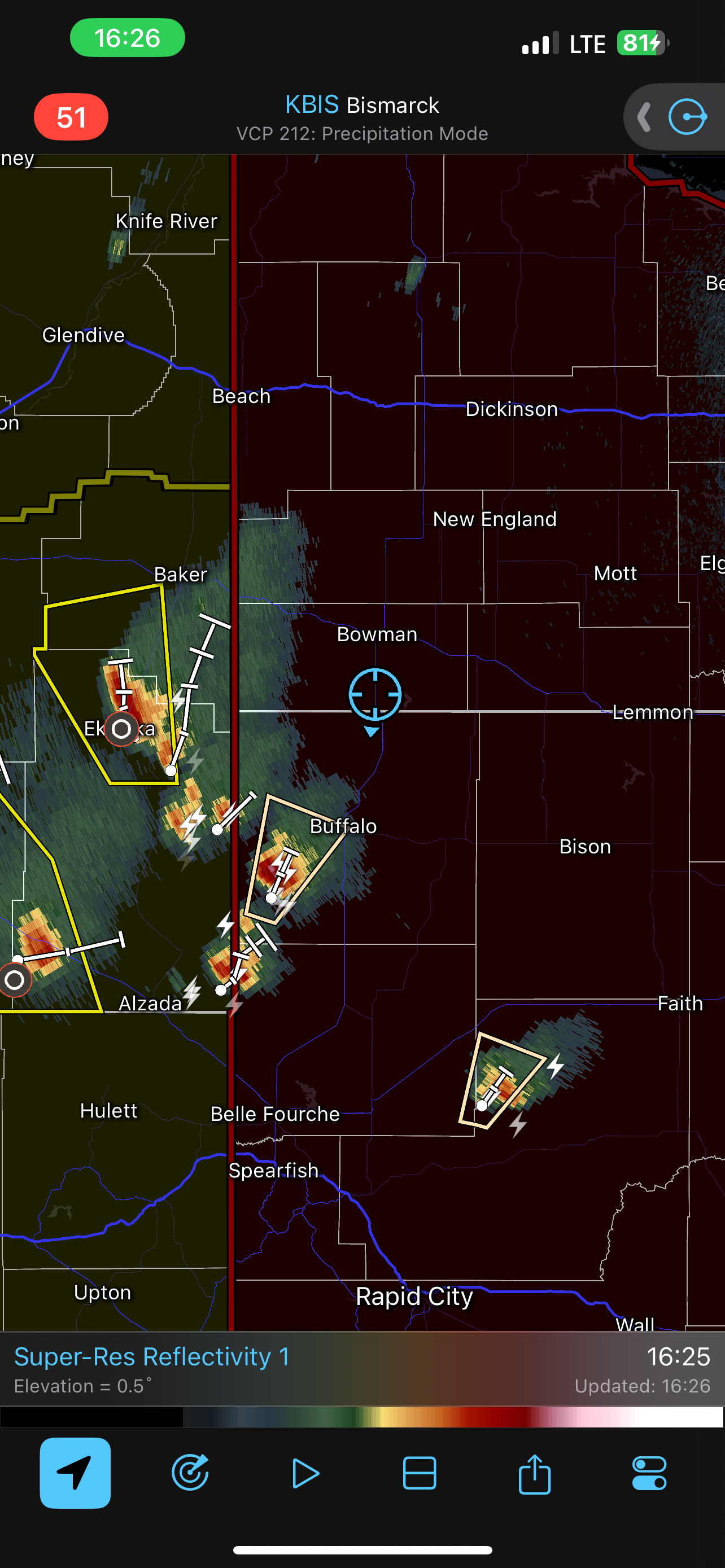
Some storms had initiated in SE Montana near the South Dakota border, so we continued south on US 85 toward Buffalo. We pulled off somewhere in between Ludlow and Buffalo to wait for storms to push east into South Dakota.
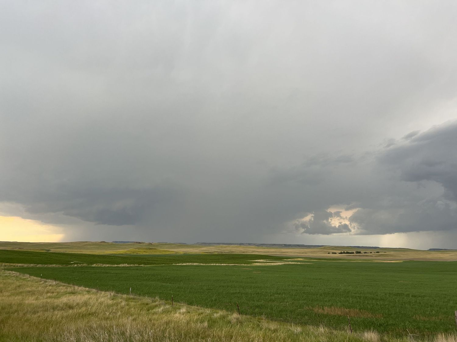
Storm development at our location along US-85
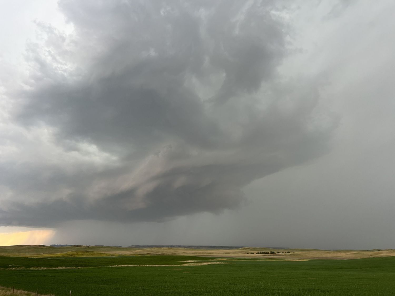
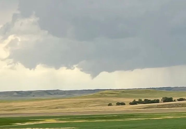
Brief funnel cloud at 6:02pm MDT
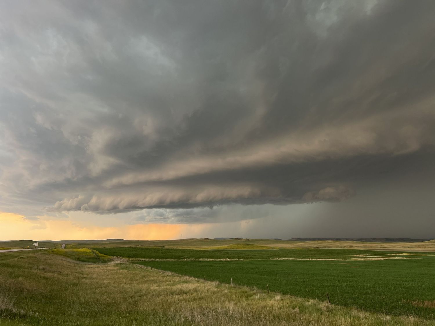
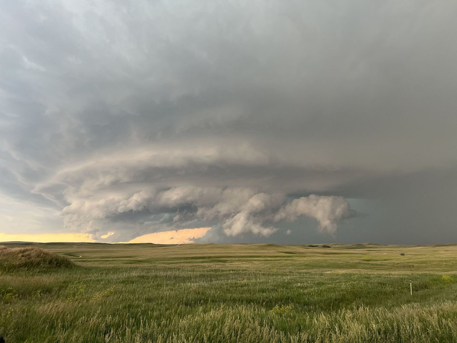
As the storm progressed, there were a few funnels that had formed, but none that fully condensed. As the storms pushed east, the structure really began to develop. By 5:30pm MDT, we had a nicely developed cell in our view with some rotation and a very obvious hail core.
The storm was rapidly approaching our location and had reports of 2" hail already, so we chose to reposition and head east toward Lodgepole, SD. The storm was very obviously intensifying, as the structure became very defined and the inflow winds kicked up quite a bit. It was also quite evident just how dense the hail core was, as it was just a wall of precipitation.
Just a little further down the road, Darren pointed out a church to stop at to take pictures of with the storm. The wind was just HOWLING in this location and it was quite eerie.
Looking back, it all makes sense, however, since there was a likely tornado looming behind the church as we were taking pictures, as you can see below!
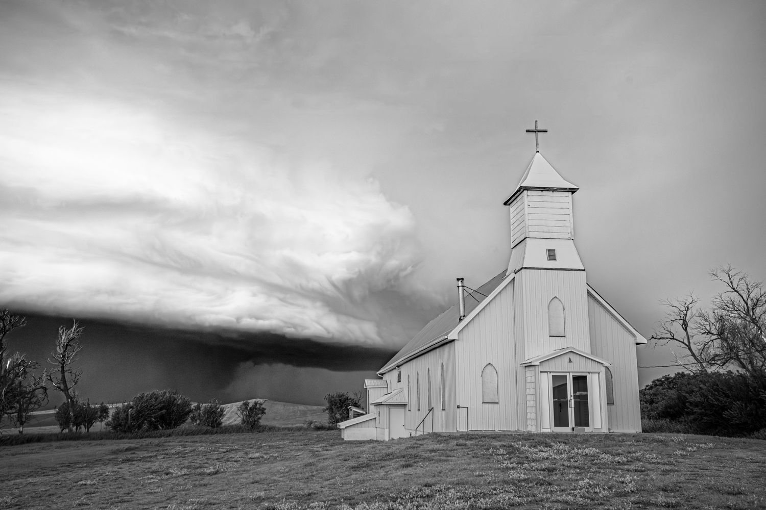
Likely cone tornado behind St. Isodore's Church at 6:29pm MDT.
In the moment, you couldn't see much of anything in the rain curtains since they were so dense. It took going back through pictures and timelapses to verify that, yes, there was a cone tornado looming behind this church.
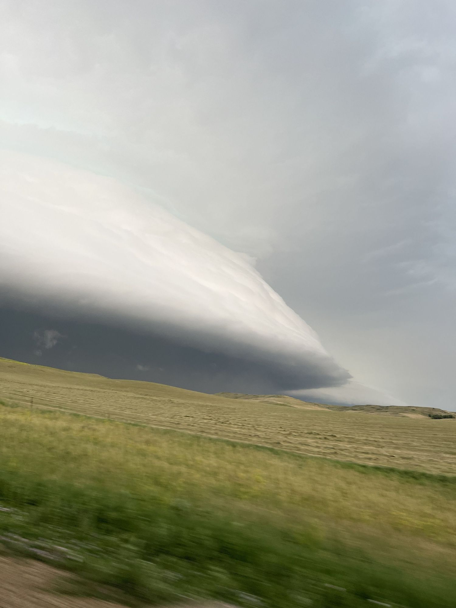
Eventually, the storm got too close for my comfort, so I packed up and headed east again, stopping just a little farther along to capture the insane turquoise color of the storm.
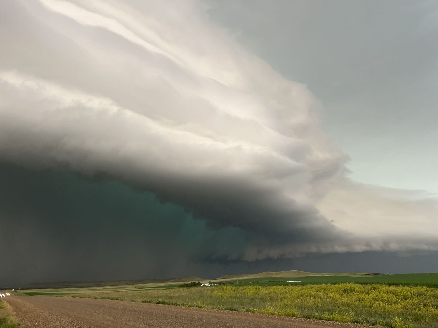
In the photo above, there is a wall cloud visible just to the right of the rain, which makes sense, because 3 minutes later, a tornado warning was issued on this storm.
It was time to lock in.
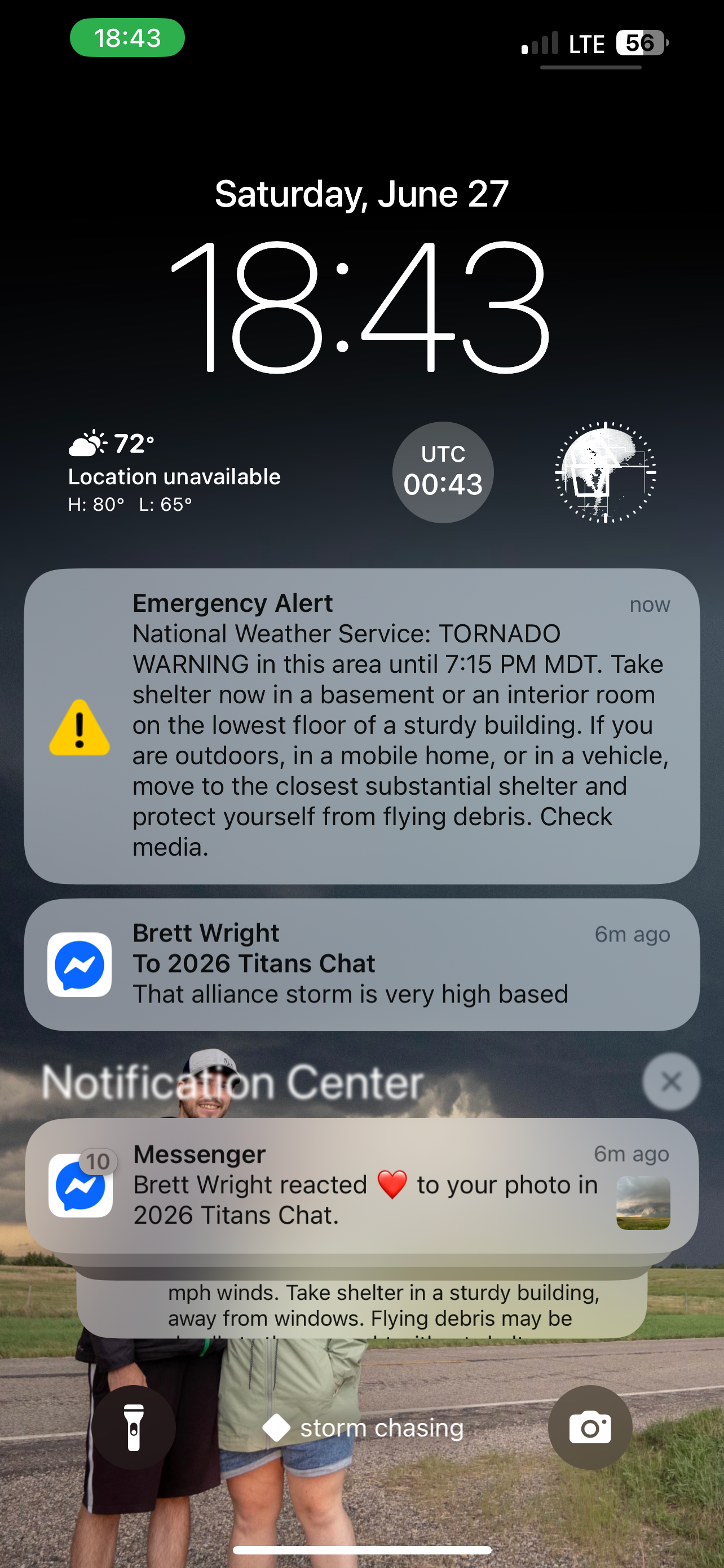
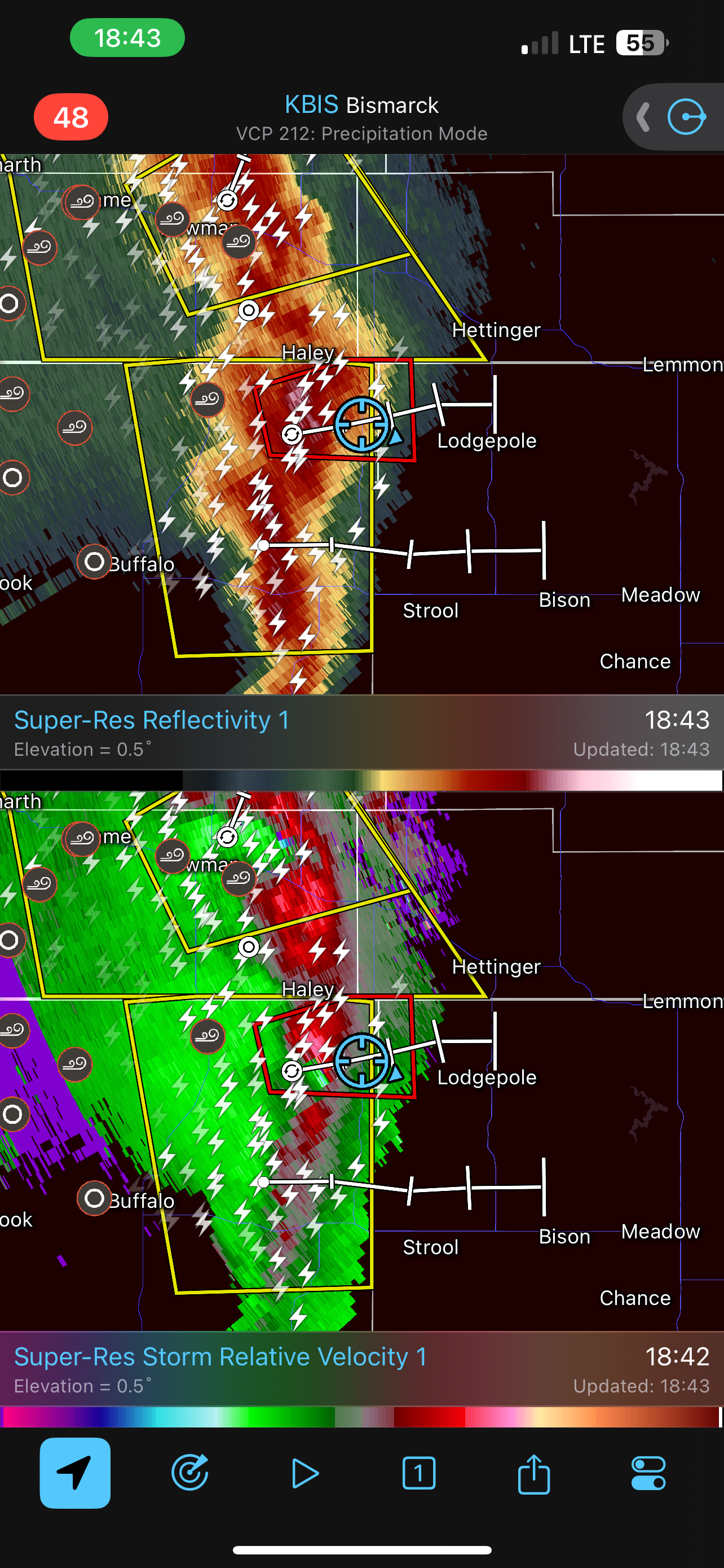
As the storm was strengthening, it became evident to me that I would eventually need to let the storm overtake me in some capacity, as there was no safe way to out run it.
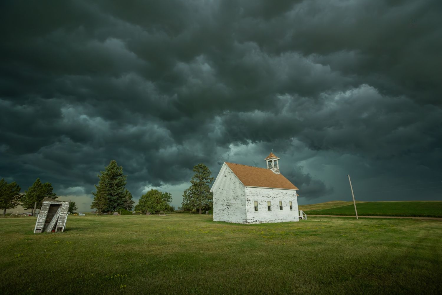
There was still some time before this would need to happen, so I stopped at another church near Lodgepole, SD to capture a few pictures before making the Great Escape.
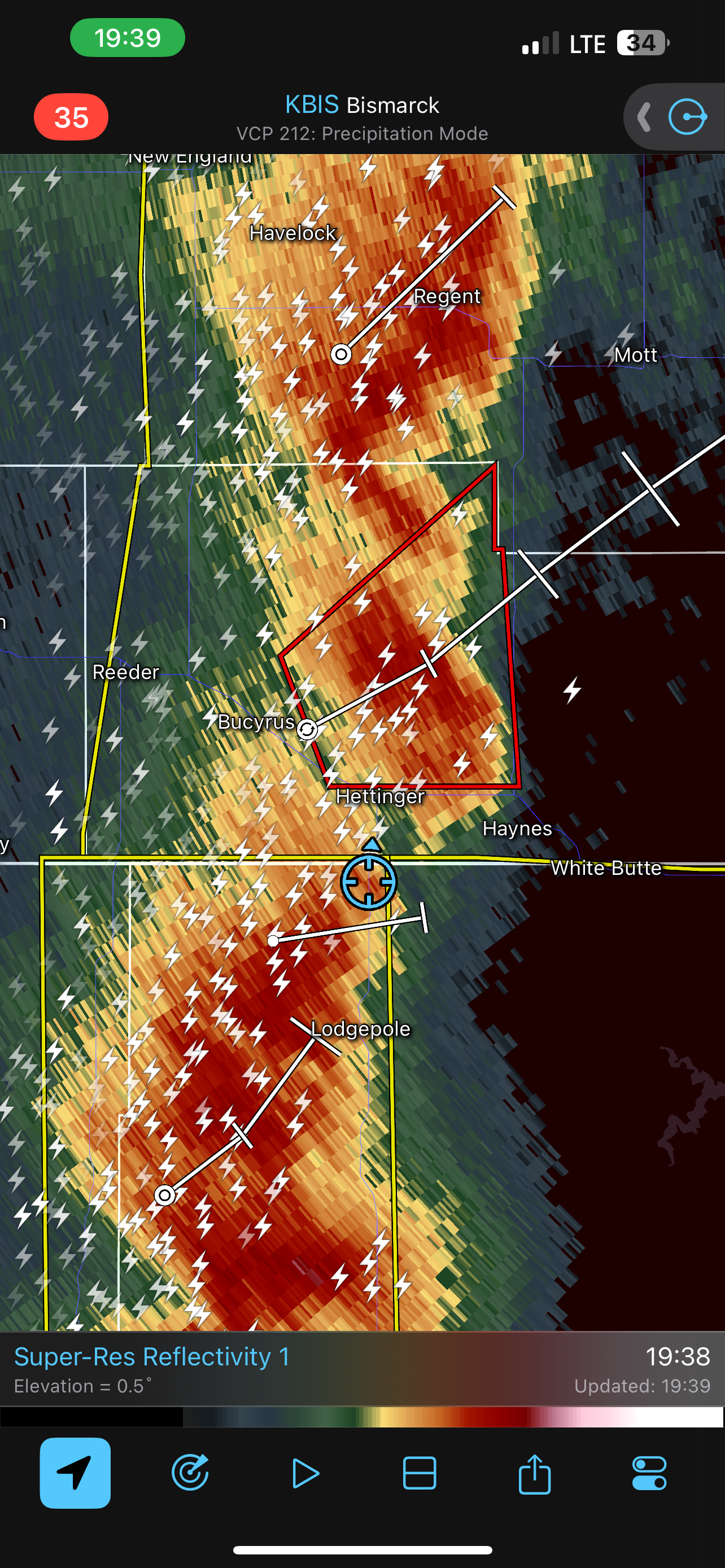
As we looked at radar and the status of the storms to the south and north of us, we both agreed it would be best for me to head north, as there was a gap in the storm between the tornado warning and the rest of the line of severe thunderstorms. The goal was to avoid the large hail, and also the assumed tornado.
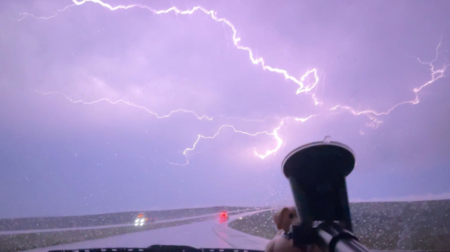
Gratefully, I was able to pass through the two systems with no trouble at all. I left the system behind me at Hettinger, ND and moved north toward Dickinson to follow the storms as they moved east. As I followed the storms east, I had an excellent view of the lightning and saw quite a few bolts that lit up the sky as if it was daytime.
Thank you for reading!